
GPS, routes and vehicles: full control of your fleet
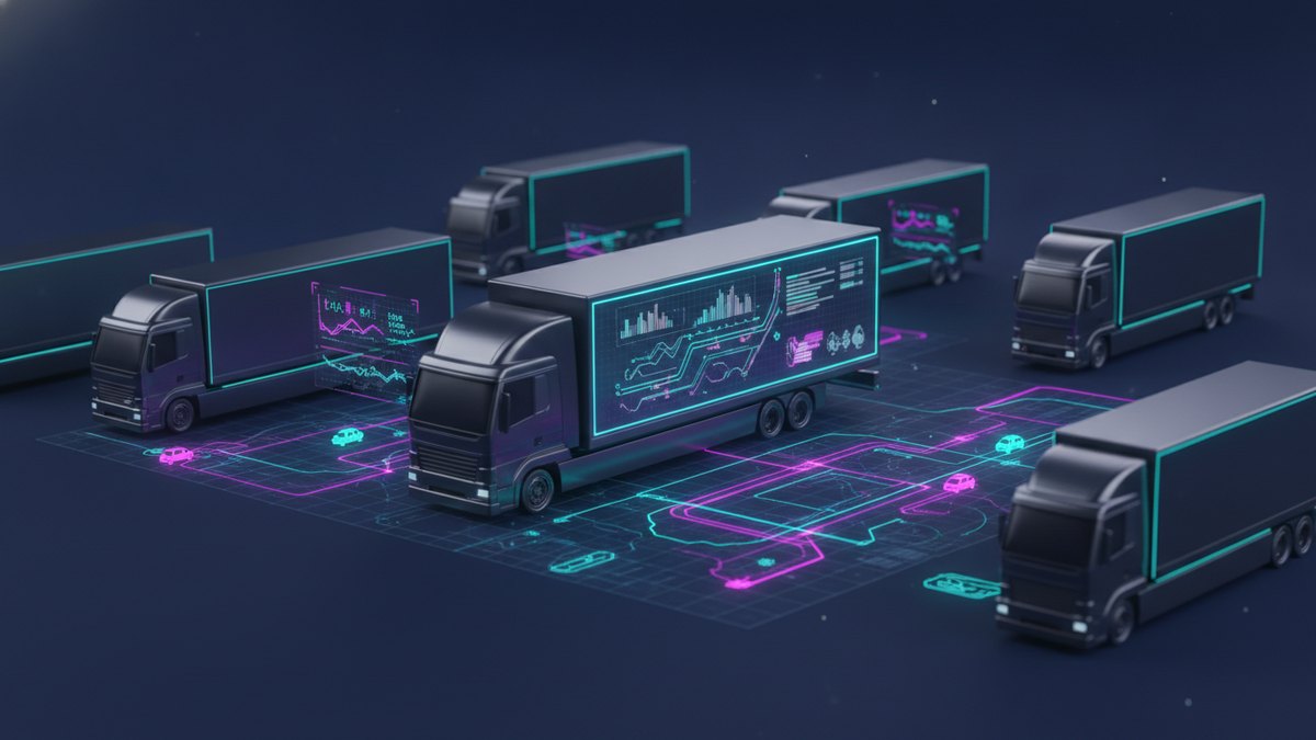
Fleet control with GPS lets you know where every vehicle is in real time, plan routes, keep up with maintenance and watch fuel from a single place, instead of chasing your drivers by phone. For a transport or logistics company in the Valley of Mexico, that visibility is the difference between operating blind and operating on data.
Many fleets still coordinate through calls and WhatsApp messages: “where are you?”, “did you deliver yet?”, “why did it take so long?”. It works until the number of vehicles and customers grows. Past a certain point, the phone no longer keeps up and late deliveries, unnecessary detours and arguments about what really happened on the route begin. Fleet control with GPS brings order to all of that.
What does fleet control with GPS solve?
A good fleet control system solves several pain points at once, all tied to a lack of visibility. When every vehicle reports its position and its activity, you stop guessing and start knowing.
- Live location. You see on a map where each vehicle is right now, without calling the driver.
- Routes. You plan the trip, compare planned versus actual, and spot detours or idle time.
- Geofences. You define zones —a plant, a customer, a yard— and the system alerts you when a vehicle enters or leaves.
- Maintenance. You schedule service by mileage or by date and get alerts before a failure leaves a vehicle stranded.
- Fuel. You watch consumption by vehicle and by route, and detect patterns that don’t add up.
Each of these fronts, on its own, already justifies the system. Together, they turn a reactive fleet into an operation that anticipates.
Why does live location change the operation?
Knowing where every vehicle is in real time seems simple, but it completely changes how you respond to the customer. When someone calls to ask about their delivery, you no longer say “let me call the driver and get back to you”: you see it on the map and answer right then. That responsiveness builds trust and sets you apart from competitors still operating blind.
Live location also protects your operation. If a vehicle leaves its route, stops longer than normal or enters a zone it shouldn’t, the system records it. It’s not about surveillance out of distrust, but about having the facts when something doesn’t go as planned and being able to act before a delay turns into an unhappy customer.
That same record helps you settle disputes with data instead of conflicting versions. When a customer claims a delivery arrived late or that a vehicle skipped their point, you stop arguing from memory: you review the actual trip, with times and locations, and answer with facts. That objectivity protects your reputation and often avoids unjustified charges or discounts.
How do geofences and routes help lower costs?
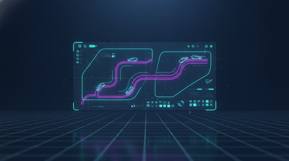
Geofences are one of the most underrated tools in fleet control. By defining zones of interest, you automate records that used to depend on someone writing down the time by hand: when a vehicle arrived at the plant, how long it stayed at the customer, what time it left the yard. With that data, measuring the real performance of each route stops being a guessing game.
Routes, in turn, let you compare the plan against reality. When you see systematically that a certain trip always takes longer than expected, you can redesign it, change the delivery order or adjust the schedule. A detour repeated every day is fuel and driver hours that slip away unnoticed; bringing it to light is money that returns to the operation.
What you can’t see, you can’t measure; and what you don’t measure in a fleet, you pay for in fuel and lost customers.
How does GPS integrate into the operations platform?
This is the difference between a simple tracker and true fleet control. A standalone GPS tells you where the vehicle is; an integrated platform connects that location with the rest of your operation: the trips, the customers, the drivers and even payroll.
When GPS lives inside the same platform that manages your trips, every route is tied to the customer who requested it and the driver who ran it. This opens the door to valuable automations: starting and closing trips by geofence crossing, calculating real kilometers for billing, and feeding driver payroll with verifiable data instead of with whatever each person reports. The information flows once and serves everyone.
At Normandia Web we build custom operations platforms for transport and logistics companies, with fleet control integrated into trips, customers and payroll, and with your data always under your ownership. If you want to stop chasing vehicles by phone and operate on real-time information, let’s talk.
Ready to put it to work in your company?
Tell us what’s costing you time, money or control. We’ll help you figure out where to start.
Start your consultation →